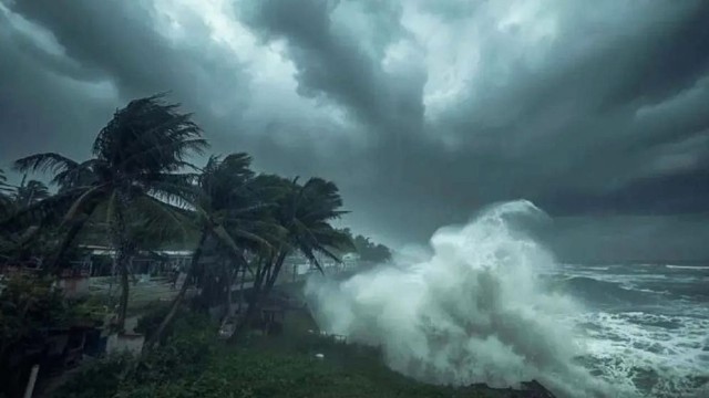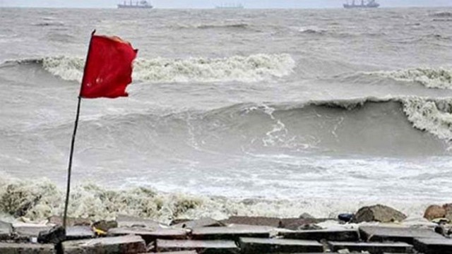
Dhaka, Sep 12 (V7N) – A low-pressure area is likely to form over the west-central Bay of Bengal and adjoining areas by Saturday evening, the Bangladesh Meteorological Department has said. As a result, rainfall across the country may intensify further next week.
Currently, the monsoon is fairly active over Bangladesh and remains moderate over the north Bay of Bengal, which has already led to an increase in rainfall since Thursday (Sept 11).
According to the Met Office, weather conditions will remain more or less the same on Friday (Sept 12), but rainfall is expected to rise significantly from Monday (Sept 15).
Forecasts:
-
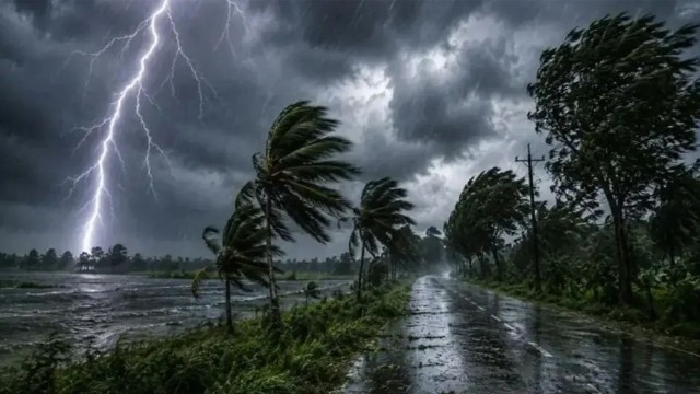
Friday & Saturday (Sept 12–13): Light to moderate rain or thundershowers accompanied by temporary gusty winds are likely in many places of Rangpur, Mymensingh, Chattogram and Sylhet divisions, and at a few places in Rajshahi, Dhaka, Khulna and Barishal divisions. Some areas may also experience moderate to heavy rainfall. Temperatures are expected to remain nearly unchanged.
-
Sunday (Sept 14): Rainfall activity may increase, with light to moderate showers in most parts of Rangpur, Mymensingh, Chattogram and Sylhet, and in many places of the other divisions. Day and night temperatures may drop slightly.
-
Monday (Sept 15): Rain or thunderstorms are expected in most parts of the country, including Dhaka. Moderate to heavy rainfall may also occur in several areas. Day and night temperatures may decline further.
On Thursday, the highest temperature in the country was recorded in Khulna at 35.4°C, while Dhaka registered 33.2°C.
END/SMA/AJ