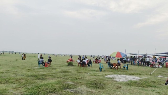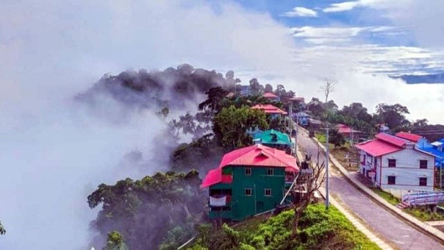
RANGAMATI, July 9 (V7N) – More than 500 tourists have been stranded in Sajek, one of Bangladesh's most popular hill tourism destinations, after days of heavy rainfall and flash floods cut off road access, prompting authorities to temporarily close all tourist attractions across Rangamati district over fears of landslides and flooding.
Baghaichhari Upazila Nirbahi Officer (UNO) Amena Marjan confirmed on Wednesday that floodwaters from hill streams had submerged several low-lying sections of the Dighinala–Baghaihat–Sajek road, leaving the route impassable and preventing hundreds of visitors from returning home.
The stranded tourists have been advised to remain safely at resorts, cottages and other accommodation facilities until travel conditions improve.
Local authorities, law enforcement agencies and emergency services are closely monitoring the situation. Officials said tourists will be allowed to leave in phases once floodwaters recede and the road becomes safe for traffic.
The weather situation has continued to deteriorate, with 287 millimetres of rainfall recorded in the past 24 hours. Continuous rain has saturated the hillsides, significantly increasing the risk of landslides, while rising water levels in hill streams have caused waterlogging and disrupted communications in several low-lying areas.
In response, the Rangamati district administration has suspended tourism activities at all tourist destinations, including Sajek, until further notice and urged visitors not to travel to the hill district.
Authorities said 212 emergency shelters have been prepared across the district's 10 upazilas to respond to any disaster.
District Relief and Rehabilitation Officer Saiful Islam said 804 people have already taken shelter at 16 evacuation centres in Rangamati Sadar, Kaukhali, Kaptai and Baghaichhari upazilas. Dry food and other relief supplies are being distributed by the district and local administrations, with support from political organisations.
As a precaution, all government primary schools in Rangamati have also been temporarily closed until conditions improve.
Meanwhile, a recent scientific study has heightened concerns over the possibility of major landslides.
The research, conducted by the Centre for Environmental and Geographic Information Services (CEGIS) between 2022 and 2024 for the Rangamati Roads and Highways Division, used GIS-based rainfall threshold modelling across the three hill districts.
According to the study, the likelihood of landslides rises sharply when cumulative rainfall reaches 375 millimetres over several consecutive days and the average rainfall intensity exceeds 8.10 millimetres per hour.
Roads and Highways Department data show that Rangamati recorded 287 millimetres of rainfall between 6:00 a.m. Tuesday and 6:00 a.m. Wednesday, with an average rainfall intensity of 11.95 millimetres per hour—well above the study's critical threshold.
Experts warned that if rainfall continues at the current rate, cumulative precipitation could exceed 375 millimetres by Wednesday night. Continued rainfall above 8 millimetres per hour on Thursday could trigger widespread landslides across the hill region.
Although the study primarily focused on roads built along hillsides, experts said its findings are equally significant for assessing overall disaster risks across the Chattogram Hill Tracts.
The Bangladesh Meteorological Department has forecast moderate to heavy rainfall in Rangamati and other hill districts until July 11. Experts also warned that stronger-than-normal rainfall may occur this year under the influence of a powerful El Niño pattern.
The district administration has placed the army, police, fire service and volunteer organisations on high alert.
Residents living at the foot of hills have been urged to move to safer locations immediately, while the public has been advised to avoid unnecessary travel to hilly areas and strictly follow official safety instructions.
END/AMR/SMA/