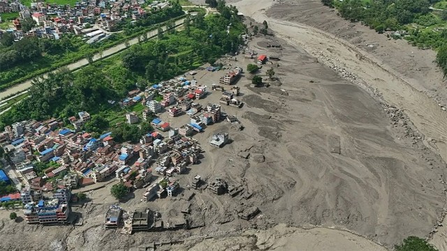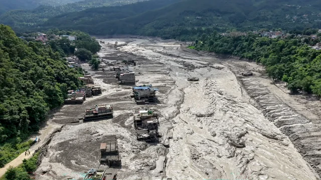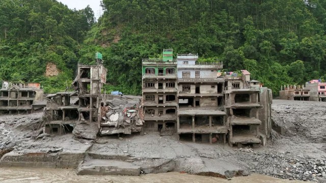
Kathmandu, Aug 27 (V7N)- The tremor felt in northern Nepal before the devastating flash floods on Wednesday was not caused by an earthquake, but by a massive glacier avalanche, landslide and debris flow, the United States Geological Survey (USGS) has said.
The tremor was initially detected as a magnitude 4.4 earthquake near the Nepal-China border, north of Kathmandu. However, the USGS later clarified that no earthquake had occurred in the area.
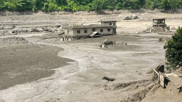
According to satellite imagery, a massive landslide involving ice and rocks occurred in the Lahende River, around 20 kilometres northeast of the Rasuwagari border post. The landslide sent huge amounts of rocks, mud and water downstream, triggering catastrophic flooding.
The force of the landslide was later estimated to be equivalent to a magnitude 5.2 earthquake, according to the USGS.
Meanwhile, the disaster has caused widespread destruction in northern Nepal. So far, 160 bodies have been recovered, while a state of emergency has been declared in the affected areas.
Rescue teams are continuing operations to locate missing people and evacuate residents from vulnerable areas. At least 844 people, including more than 450 foreign nationals, remain missing.
Among the missing are 133 Indian nationals and citizens of at least 28 countries, including the United States, Australia, the Netherlands and Malaysia.
END/SMA/AJ